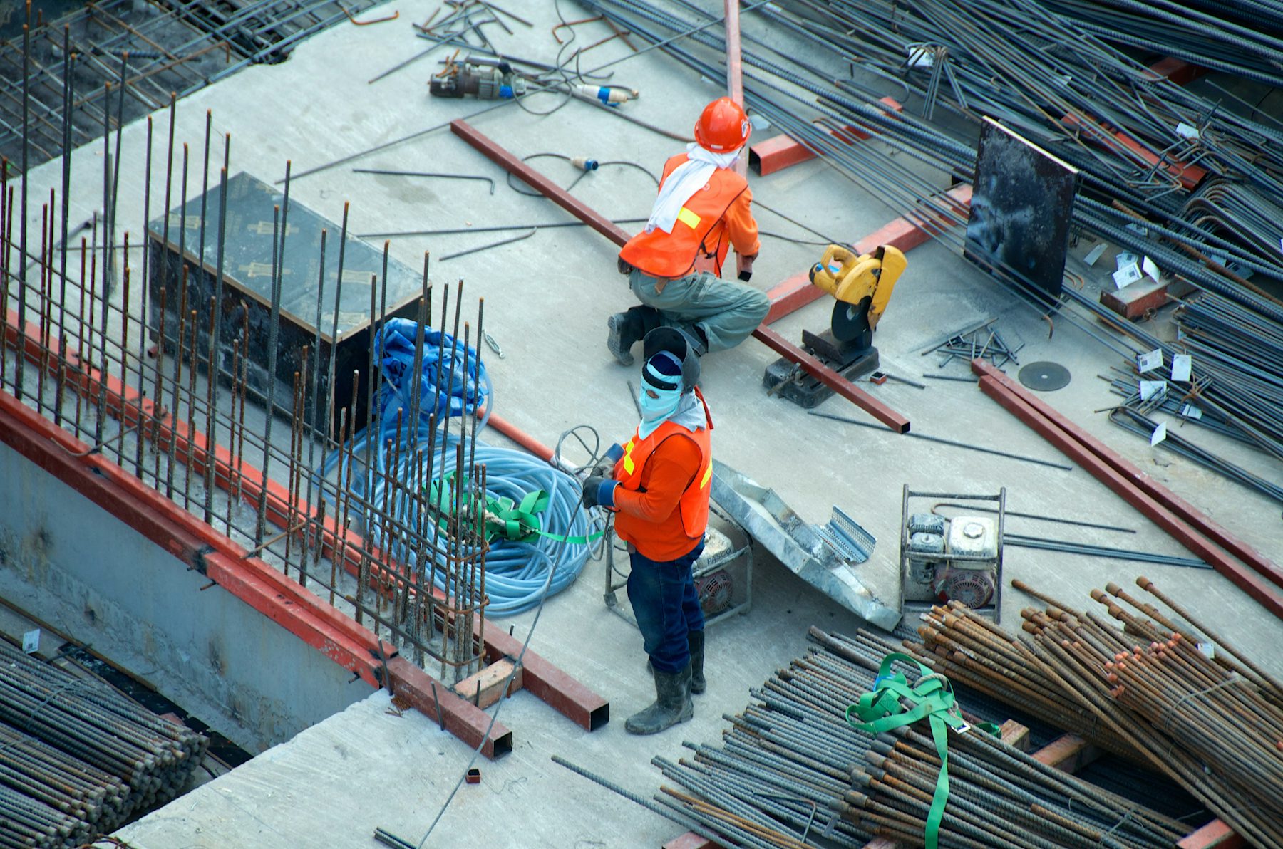
Document Every Phase
of Your Build
FAA-certified drone documentation for construction projects nationwide. Progress tracking, 3D models, quantity surveys, and as-built records — delivered in 24 hours.
Trusted by leading construction companies

SkyLens 360 — Actual Site Capture
Every angle. Every milestone. Every measurement verified.
The Problem With Traditional Documentation
Progress reports take 1–2 days to compile from ground photos
Quantity disputes between GC and subs delay payment approvals
Lenders need visual proof of milestones — ground photography is slow
As-built conditions go unrecorded until there's a dispute
Site walk-throughs miss details only visible from above
The SkyLens 360 Solution
Aerial captures completed in 1–2 hours per site visit
Volume reports generated automatically — no disputes
Professional PDF progress report delivered in 24 hrs
Permanent 3D as-built record from groundbreaking to C.O.
Bird's-eye view reveals what ground photography misses
Every Phase, Captured From Above
We document your project from day one through certificate of occupancy — no milestone goes unrecorded.
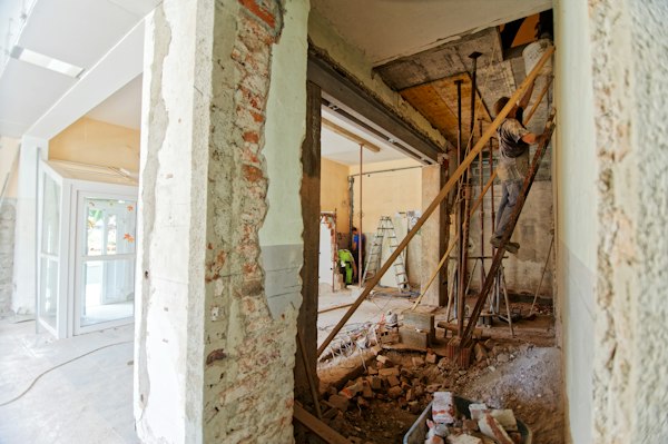
Site Preparation
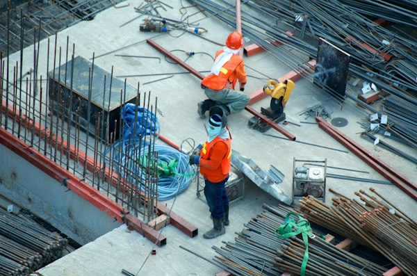
Foundation Work

Structural Steel

Concrete Pours
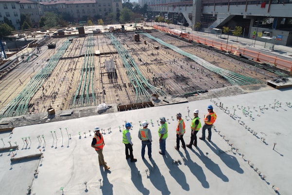
Envelope & Roofing

Final Inspections
How It Works
Click each phase to explore the full documentation workflow
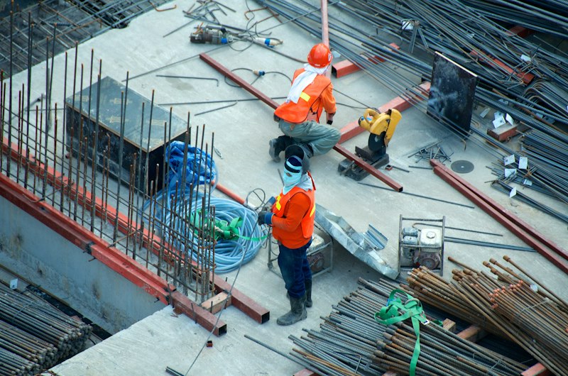
Scheduled Site Capture
Flights are planned around your construction schedule — foundation pour, framing, MEP rough-in, roofing, envelope. Each capture is a GPS-tagged, timestamped aerial snapshot of exact site conditions, creating an unbroken photographic chain of custody for your project.
What You Receive After Every Flight
A complete documentation package — not just photos
Orthomosaic Map
Georeferenced 2D aerial map with centimeter accuracy. Exportable as GeoTIFF.
Point Cloud (.LAS)
Dense 3D point cloud compatible with all major BIM and survey platforms.
Textured 3D Mesh
Photorealistic 3D model viewable in browser — shareable with owners and lenders.
Progress PDF Report
Annotated aerial photo report comparing current vs. previous milestone.
Volume Calculations
Stockpile and earthwork volumes measured to ±1% with supporting data tables.
4K Video Flythrough
Cinematic aerial site walkthrough for owner meetings and investor updates.
Recent Projects We've Documented
From retail pad sites to major healthcare campuses — we document projects of all scales, nationwide.

Multi-Story Office Complex
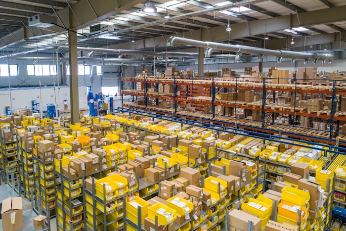
Warehouse Distribution Center
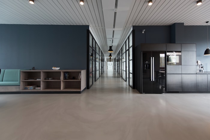
Mixed-Use Development
Healthcare Campus Expansion
Retail Power Center

Luxury Residential Tower
Why Construction Teams Choose Drone Documentation
Built for project managers, owners, and GCs who need more than ground photos
Eliminate Pay Disputes
Drone-measured quantities provide objective data — no more arguments over stockpile volumes or earthwork quantities billed.
24-Hour Progress Reports
Visual progress package with aerial photos, orthomosaic, and 3D model — delivered to owner and lender within 24 hours of flight.
Early Issue Detection
Compare site conditions to design drawings. Catch a misplaced column, off-grade slab, or missing rebar before expensive rework.
Legal Documentation
Time-stamped 3D site records provide undeniable photographic evidence of site conditions at every stage of construction.
Lender Draw Approvals
Provide your construction lender with aerial visual proof of progress milestones — builds trust and accelerates draw approvals.
Safety Compliance Records
Document site conditions, scaffolding, OSHA setups, and material storage for safety audits and insurance records.
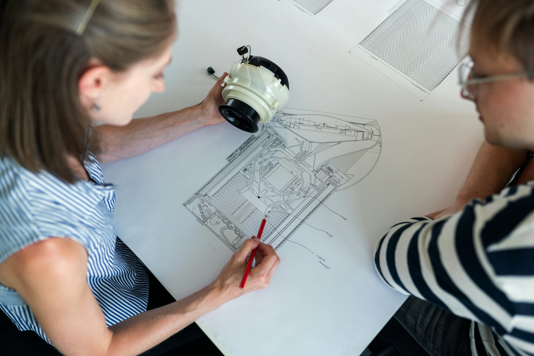
"We used to spend 2 full days per month on progress reports. Now our PMs get a complete package within 24 hours of the flight."
— Project Manager, Barr & Barr Construction
Multi-story commercial office development, Miami FL
Estimate Your Documentation Cost
Select your project size and capture frequency to get a ballpark estimate
Industry-Leading Technology
We use enterprise-grade drones and processing software to deliver data that meets the standards of the construction industry.
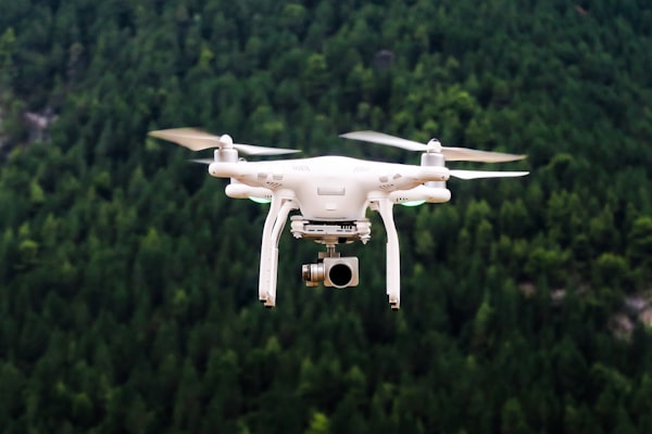
High-Resolution Drone Cameras
45MP+ sensors capture site detail at 1–3 cm/pixel ground resolution — enough to read a label on a material package from 400 feet up.
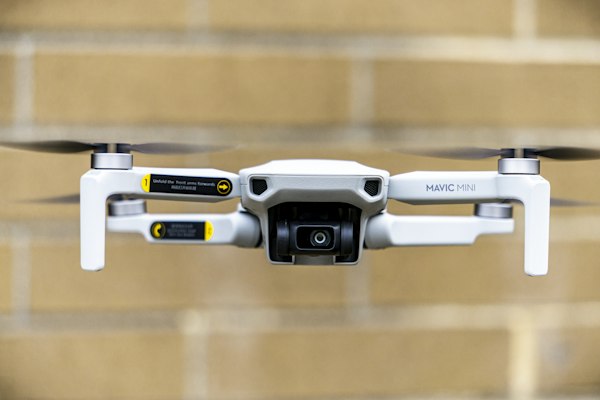
Real-Time GNSS / RTK Positioning
RTK-enabled drones eliminate the need for ground control points on most projects, achieving absolute accuracy of 1–5 cm horizontally and vertically.

Cloud-Based 3D Processing
Pix4D and Agisoft Metashape generate dense point clouds and textured meshes overnight, so deliverables are ready the morning after your flight.
Frequently Asked Questions
Everything you need to know before scheduling your first site capture.
Get a Free Quote
Tell us about your project — we'll respond within 2 hours with pricing and availability.
Document Your Project From Day One
The earlier you start capturing, the more complete your record. Let's set up a recurring documentation plan for your site.