Cost Analysis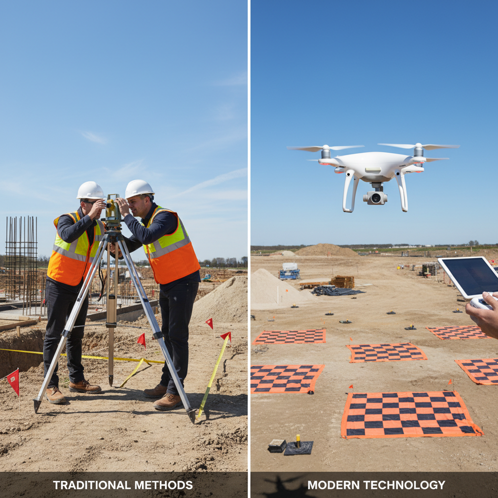
3D Photogrammetry vs Traditional Surveying: Cost Comparison
Why construction companies across America are switching to drone-based surveying
The Real Numbers
Traditional Surveying
Time: 2-5 days for 50-acre site
Cost: $5,000-$15,000
Accuracy: ±0.5-2 inches
Drone Photogrammetry
Time: 2-4 hours for 50-acre site
Cost: $2,000-$5,000
Accuracy: ±1-3 inches
What is Photogrammetry?
Photogrammetry uses hundreds or thousands of overlapping drone photos to create accurate 3D models, elevation maps, and measurements. Software processes these images to generate:
- Orthomosaic maps (corrected aerial photos)
- Digital elevation models (DEMs)
- 3D point clouds
- Volumetric measurements
- Contour maps
Cost Breakdown: 50-Acre Construction Site
Traditional Ground Survey
- Field crew (2-3 people): $3,000-$8,000
- Equipment rental: $500-$1,000
- Data processing: $1,000-$3,000
- CAD drafting: $1,500-$3,000
- Total: $6,000-$15,000
- Timeline: 3-7 days
Drone Photogrammetry Survey
- Flight operations: $1,000-$2,000
- Ground control points (GCPs): $500-$1,000
- Processing & modeling: $500-$1,500
- Deliverables preparation: $500-$1,000
- Total: $2,500-$5,500
- Timeline: 1-2 days
When Drones Save Even More
The cost advantage increases dramatically for:
- Large Sites: 100+ acres traditional survey can exceed $30,000; drone survey stays under $10,000
- Difficult Terrain: Steep slopes, dense vegetation, or hazardous areas
- Frequent Updates: Monthly progress monitoring costs 70% less with drones
- Stockpile Volumes: Measure material quantities weekly instead of quarterly
Accuracy Comparison
Horizontal Accuracy:
- Traditional surveying: ±0.5-1 inch
- Drone with GCPs: ±1-2 inches
- RTK/PPK drone: ±0.5-1.5 inches
Vertical Accuracy:
- Traditional surveying: ±0.5-1 inch
- Drone with GCPs: ±1.5-3 inches
- RTK/PPK drone: ±1-2 inches
For most construction applications, drone accuracy is more than sufficient. Engineering-grade work may still require traditional surveying for critical control points.
What You Get with Drone Surveys
- Orthomosaic Map: High-resolution aerial image with accurate measurements
- 3D Model: Interactive model viewable in web browser
- Point Cloud: Millions of surveyed points for CAD/BIM integration
- Contour Map: Topographic lines at specified intervals
- Volume Calculations: Cut/fill analysis and stockpile measurements
- CAD Files: DWG/DXF compatible with AutoCAD, Civil 3D
Project Types Best Suited for Drones
- Site development and grading
- Mining and aggregate operations
- Road and highway construction
- Pipeline and utility corridors
- Landfills and environmental sites
- Solar and wind farm development
- Real estate development planning
Limitations to Consider
Drone surveys may not be ideal for:
- Dense tree canopy (can't see ground)
- Underground utility mapping
- Property boundary surveys (requires licensed surveyor)
- Sub-centimeter precision requirements
- Sites with FAA airspace restrictions
ROI Example: Real Numbers
Scenario: 200-acre development requiring monthly progress surveys for 18 months
Traditional Surveying:
- Cost per survey: $12,000
- 18 surveys × $12,000 = $216,000
Drone Surveying:
- Cost per survey: $4,000
- 18 surveys × $4,000 = $72,000
Savings: $144,000 (67% reduction)
The Bottom Line
Drone photogrammetry delivers:
- 40-70% cost savings
- 5-10x faster data collection
- Sufficient accuracy for most applications
- Safer for crews (no hazardous terrain exposure)
- More comprehensive data (entire site vs. sample points)
- Better visualization for stakeholders